I was looking for maps all night on the Tele! None appeared so I came home and found a few. I wonder if the cost and license restrictions of the actual electoral boundary file was an issue for television networks and the media. The only institution that provided a map with ridings was CBC. The rest were visualizations or shell maps of provinces and territories.
The CBC maps were interactive, with roll overs pop ups and some zooming capabilities! As I predicted before seeing the maps, multicoloured areas are urban, west is blue with some patches of orange, centre is orange, east is baby blue, with some patches of red and blue, and all those country ridings are tory blue! And Ottawa, which I did not predict, is surrounded by blue, with one orange and 2 reds! Ontario, well, it is awfully blue! Kinda fun to look around to see what is up!
CyberPresse has a pretty interesting visualization! One cannot see the real geographic distribution of the results but it remains a creative and interactive way to see the votes! As you scroll over the little squares a pop up window shows the results! At a glance a user can see the number of seats per province and then look at the littles squares and their colours, this was perhaps a little less effective but I guess they were struggling with screen real estate and access to a base map.
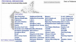
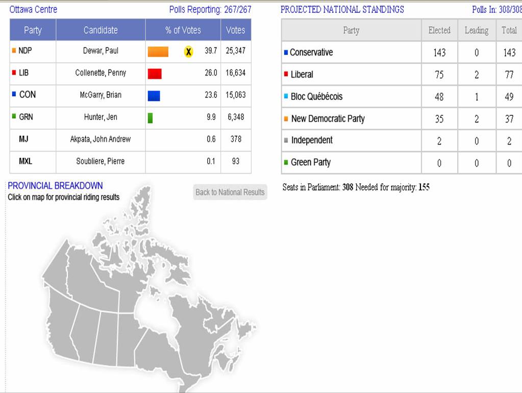
CTV had a pretty rudimentary map of the provinces and territories. If you click on the province you get a window of the ridings and a rather garish obtrusive list of ridings that blocks the map. You select the riding and then you get the results of the province in a table but not a geographic distribution of results by riding. The map is then left at the bottom of the page all lonely with not much information associated with it.
The Globe and Mail also had an interactive map but again just a shell with the provinces and territories like CTV example above, with a small bit of scroll over action that yields a pop up window and the left pane changing on the right. Informative but not the big picture of the country like a map with all the ridings.
Finally there is our national institution, Elections Canada! A few minutes ago it had no results! Oh My! No maps, and not the most intersting way to access the info. I wonder if they will ever produce a map? Will it be more than a static PDF? Since they own the base file you’d think they could do a little something with that monopoly access? Or perhaps because Statistics Canada sells that for them they also have some sort of dissemination restrictions.


Comments on Posts